
Kyarkoti Trek Route 2026: A Complete Guide
Kyarkoti Trek Route 2026: A Complete Guide
Message us to get your itinerary on WhatsApp!
Kyarkoti Trek
-
Comfortable Accommodation, seamless Transportation, delicious Meals, and basic Medical Assistance
-
Journey starts and ends at Harshil Valley
-
24/7 Customer Support for any assistance
-
Enjoy breathtaking Sightseeing at all major destinations
-
Early Bird Discounts available — Book now and save!
- Uttarakhand
- Duration: 6D/5N
- Base: Harshil, Uttarkashi
- Grade: Easy to Moderate
- Altitude: 12,500 ft
- Best time: May to June & Sept to Oct
- Distance: 18KM one side
- Min Age: 12yrs
- Last ATM: Harshil, Uttarkashi
Call our Kedarkantha trek Expert Mr. Anup Singh to know more about the trek
Kyarkoti Trek 2026 – An Offbeat Himalayan Adventure in Uttarakhand Overview
About Kyarkoti Trek
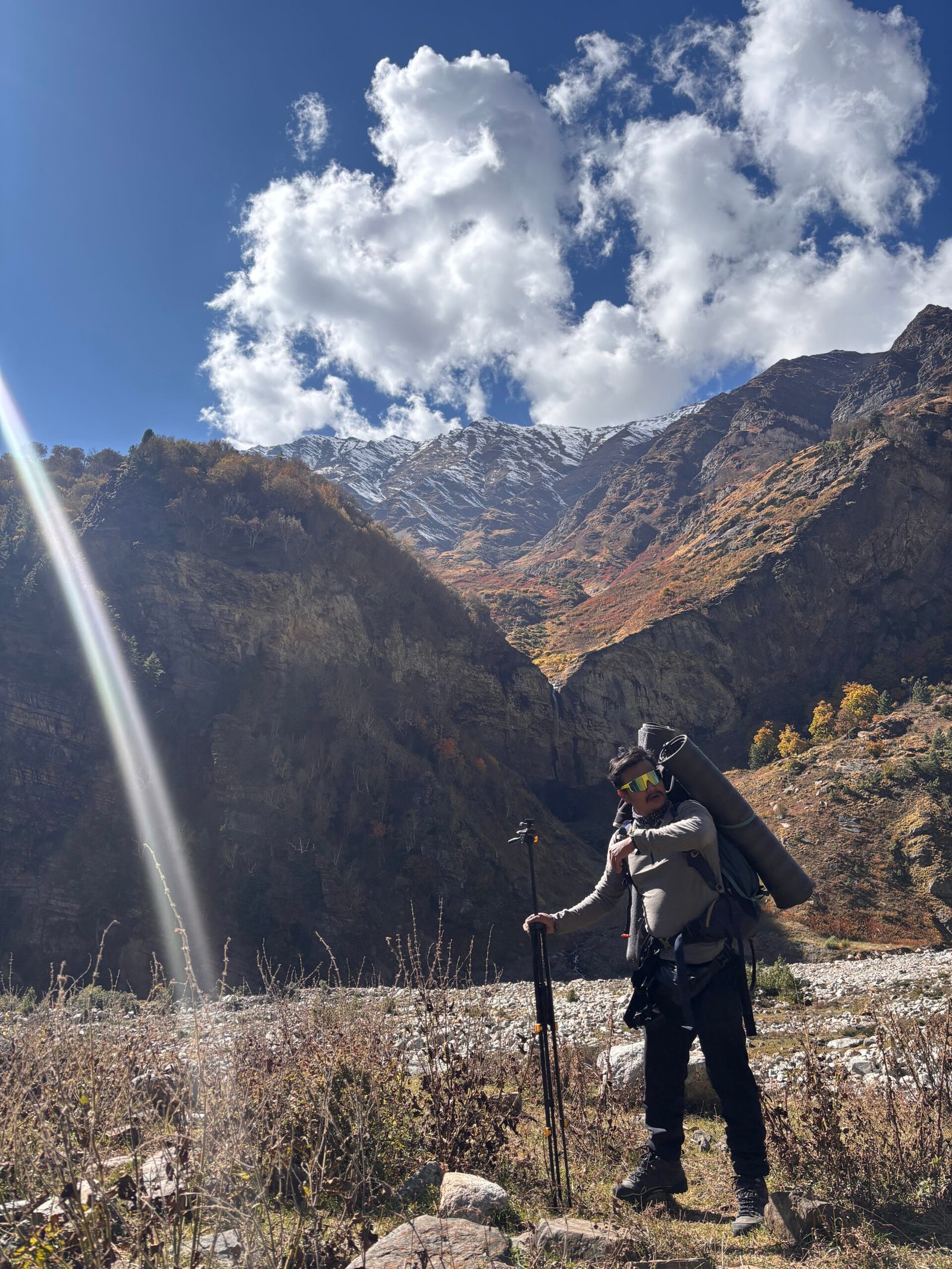
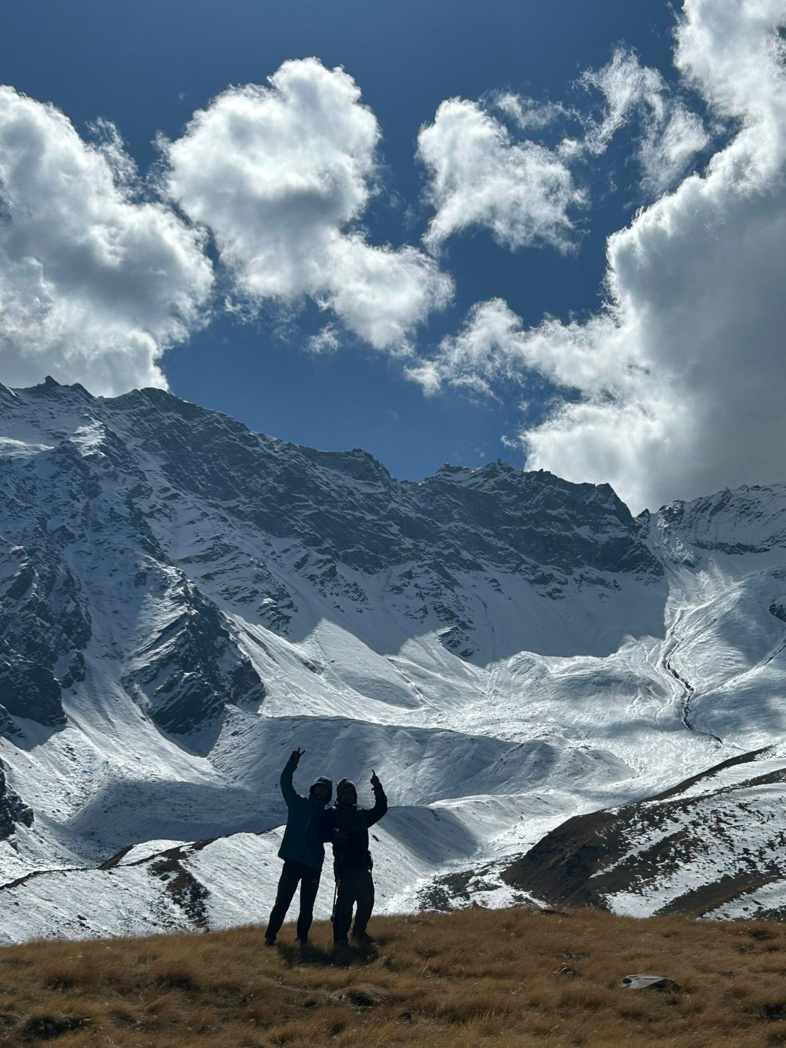
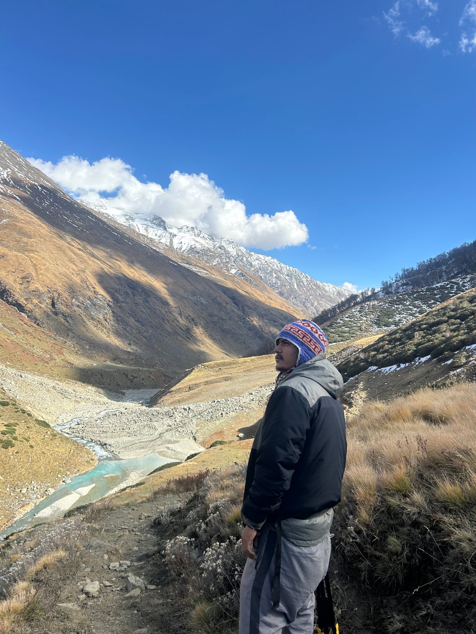
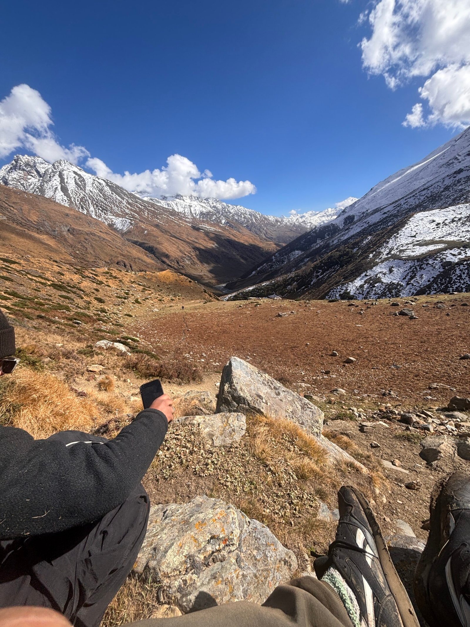
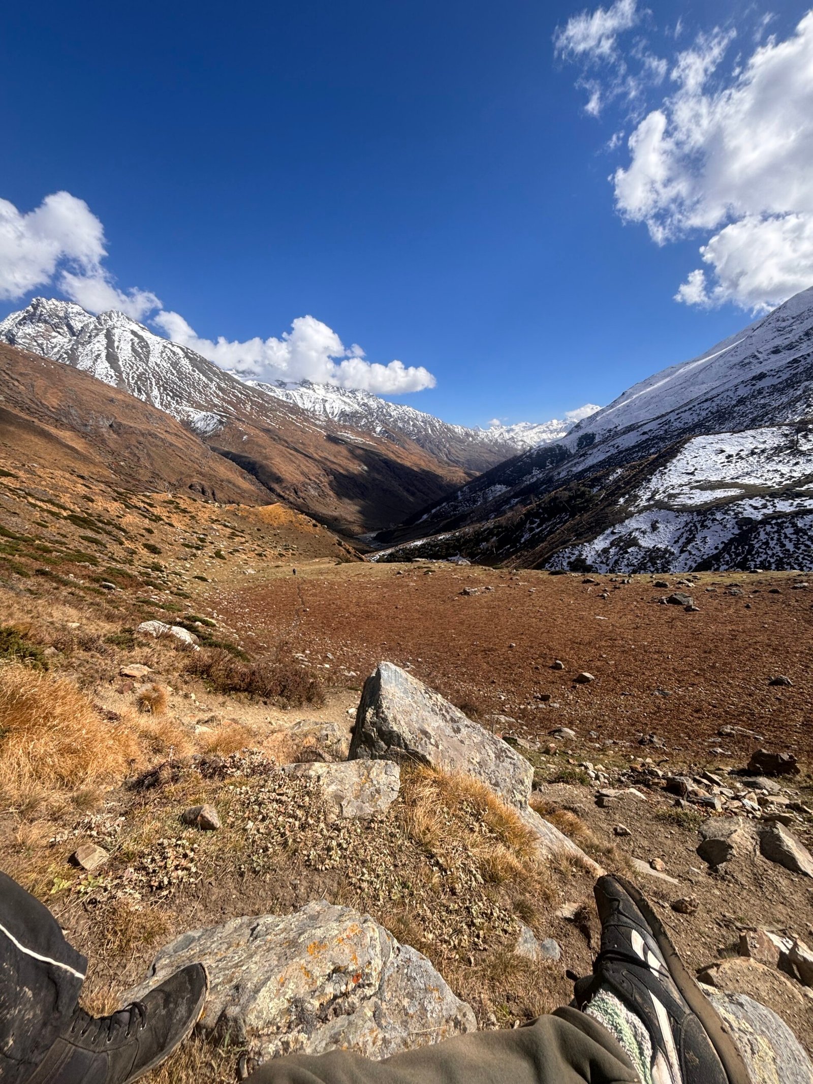
Kyarkoti Trek is one of Uttarakhand’s lesser-known Himalayan adventures, offering trekkers a chance to experience a quieter and more raw side of the Garhwal Himalayas. Far from the crowds of popular trekking routes, the trail takes you through remote mountain landscapes, dense forests, open alpine meadows, and high-altitude terrain where nature remains largely untouched.
The journey to Kyarkoti is not just about reaching a destination—it is about experiencing the gradual transition from traditional Himalayan villages to wild forests and eventually into the vast alpine landscape. Along the way, trekkers encounter changing vegetation, mountain streams, dramatic ridgelines, and expansive views that make the route particularly rewarding for those looking for an offbeat Himalayan trekking experience.
Unlike popular treks where trails can become busy during the season, Kyarkoti offers a greater sense of solitude. The limited tourist movement gives the trek a remote character, allowing you to experience the mountains at a slower pace. For experienced trekkers and adventure seekers, this combination of isolation, challenging terrain, and beautiful high-altitude landscapes is what makes Kyarkoti special.
Local Culture & Mountain Life
The approach to Kyarkoti passes through the traditional mountain settlements of Uttarakhand, where life continues to revolve around agriculture, livestock, forests, and seasonal migration. Villages along the route offer a glimpse into the everyday rhythm of Himalayan communities, where terraced farming and cattle rearing remain important parts of local livelihoods.
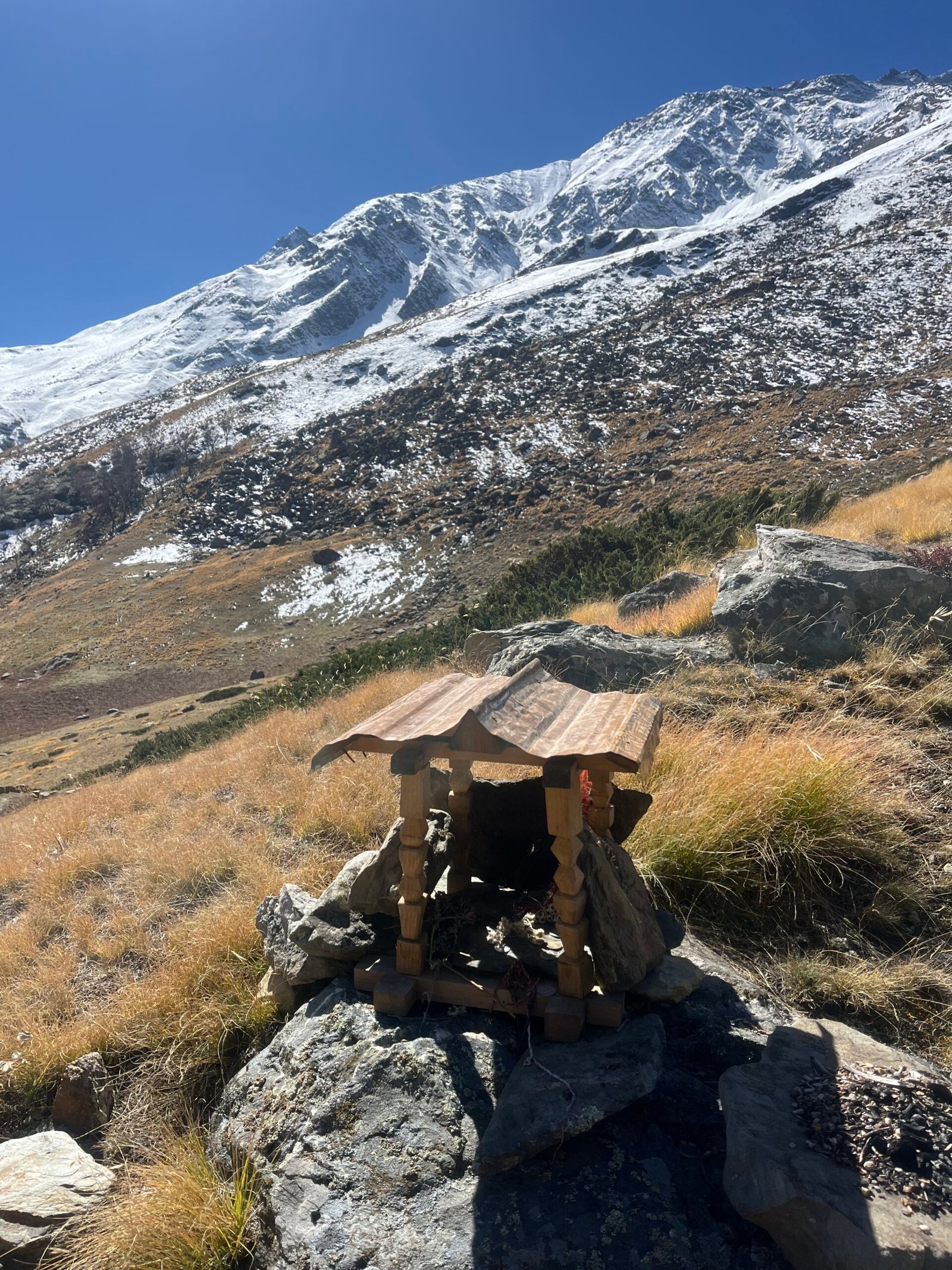
Traditional houses, stone pathways, terraced fields, cattle sheds, and small village temples reflect the close relationship between people and their surrounding landscape. Depending on the season, trekkers may see villagers working in their fields, livestock being taken towards higher grazing areas, or shepherds moving with their flocks.
These cultural encounters add another dimension to the Kyarkoti Trek. Instead of simply passing through a landscape, trekkers get an opportunity to understand how communities have adapted to life in the mountains and how closely their traditions remain connected to the forests, pastures, rivers, and surrounding peaks.
Flora & Wildlife
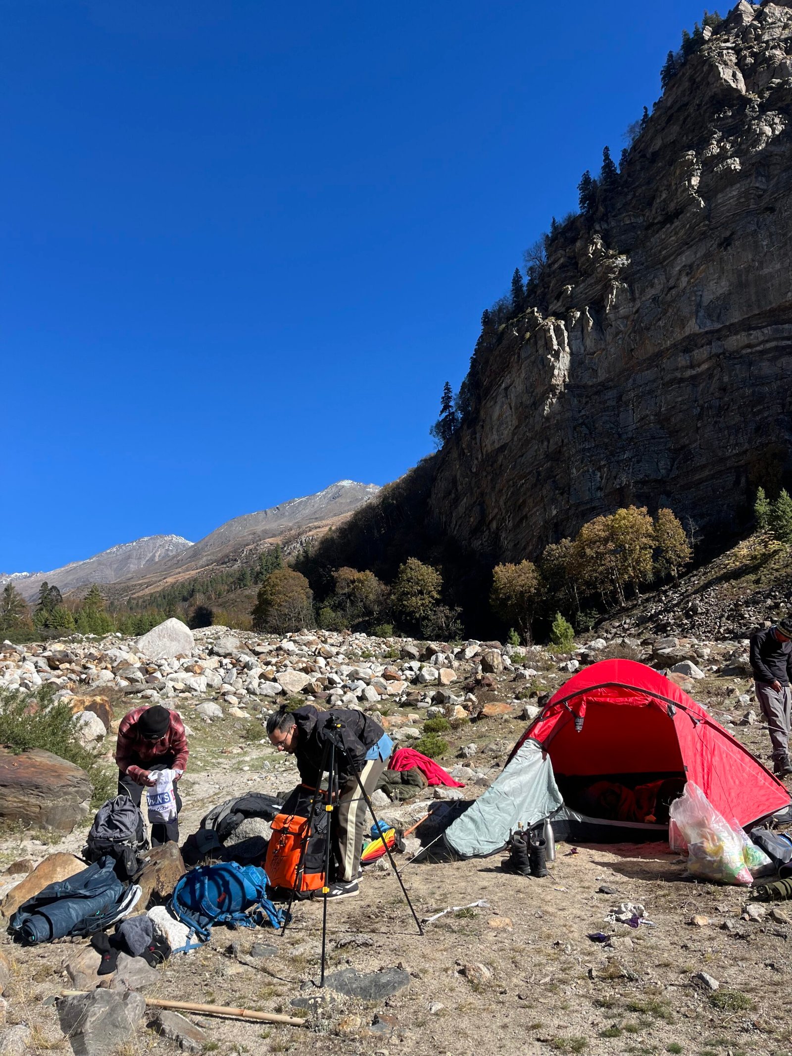
One of the highlights of the Kyarkoti trail is the dramatic change in vegetation with altitude. The lower sections are surrounded by Himalayan forests, with oak, rhododendron, and other native mountain species creating a dense green landscape. As the trail gains elevation, the forest gradually becomes thinner and gives way to open meadows and alpine vegetation.
During spring and early summer, rhododendrons add bursts of colour to the forest, while the higher meadows become increasingly vibrant as the snow retreats. The landscape changes dramatically with the seasons—lush and green during the warmer months, covered with wildflowers in suitable areas, and transformed into a snow-covered wilderness during winter.
The remote nature of the route also means that wildlife encounters are possible. Trekkers may spot Himalayan birds and other mountain fauna, although sightings are never guaranteed. The quieter surroundings and limited human activity make the trail particularly enjoyable for those who appreciate Himalayan forests, alpine ecosystems, and wilderness.
Why Kyarkoti Trek Is Special
What makes Kyarkoti different is its offbeat and remote character. It does not have the highly commercialised atmosphere found on many of Uttarakhand’s famous trekking routes. There are fewer trekkers, fewer crowds, and a stronger feeling of being away from civilisation.
The trail demands more from trekkers than simply walking from one campsite to another. Changing terrain, altitude, weather, and long stretches without commercial facilities mean that preparation and a good level of fitness are important. In return, the trek offers something increasingly rare—the feeling of discovering a Himalayan landscape without the crowds.
For those who have already experienced popular treks and want to explore a lesser-known side of Uttarakhand, Kyarkoti is an excellent choice. The combination of remote trails, alpine meadows, mountain forests, traditional villages, and dramatic Himalayan scenery makes it an adventure where the journey itself becomes as memorable as the destination.
Kyarkoti is for trekkers who don’t just want to visit the Himalayas—they want to feel their remoteness.
INCLUSIONS
-
Harshil to Harshil
-
Stay: Accommodation on Day 1 in a cozy guesthouse/hotel at Harshil, followed by comfortable triple-sharing tents with sleeping bags and mats during the trek.
-
Meals: Nutritious vegetarian food – breakfast, lunch, evening tea/snacks, and dinner throughout the trek.
-
Trek Equipment: Micro-spikes and gaiters will be provided when required in snowy conditions.
-
Permits & Fees: All necessary forest entry passes and trek permits included.
-
Guidance: Professional, certified trek leaders and friendly local support staff to assist you.
-
Medical Support: First-aid kits, oxymeters, and oxygen cylinders available at campsites for emergencies.
-
24/7 Customer Support for any assistance.
-
Hygiene & Safety: Regularly sanitized campsites, safe sleeping arrangements, and clean surroundings maintained.
EXCLUSION
-
5% GST (Goods & Services Tax) is extra
-
Any services/items not specifically listed under “Inclusions”
-
Meals during travel to/from the base location
-
Personal expenses like tips, phone calls, or extra snacks
-
Additional accommodation or stay caused by roadblocks, landslides, or heavy snowfall
-
Backpack offloading charges and personal porter/mule costs
-
Emergency evacuation expenses (if required)
Add-Ons
- Pickup & Drop from Dehradun available at ₹1500 per person (round trip)
- Backpack offloading service at ₹1400 per person
Kyarkoti Trek 2026 Itinerary (6D/5N)
Kyarkoti Trek 2026 Itinerary (6D/5N)
Day 1: Dehradun to Harshil Valley
- Distance: 230 KM
- Travel Time: 8–9 hours Drive
- Pickup Point: Prince Chowk, Dehradun
- Altitude Gain: 7,400 ft
Our journey begins early in the morning with a scenic drive from Dehradun towards the remote and beautiful Harsil Valley. Leaving the city behind, the road winds through the Himalayan foothills, passing Mussoorie, Dhanaulti, Tehri, Uttarkashi and the beautiful Bhagirathi Valley.
As the altitude gradually increases, the landscape changes from busy towns to dense mountain forests, deep valleys, cascading streams and traditional Himalayan villages. The final stretch towards Harsil follows the Bhagirathi River and offers some of the most beautiful mountain scenery of the journey.
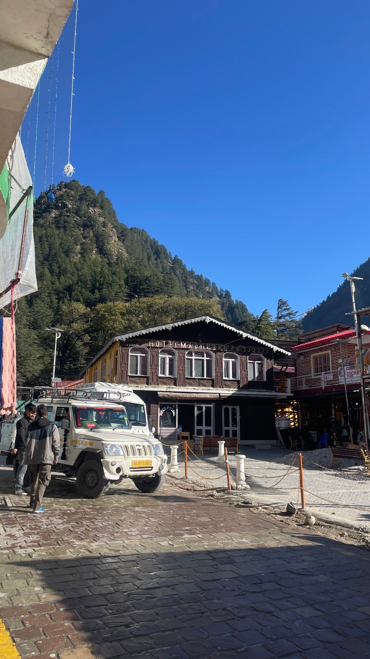
By evening, we arrive in Harsil, a peaceful Himalayan settlement surrounded by deodar forests and towering mountains. Check into your stay, relax after the long drive and prepare yourself for the trek ahead.
In the evening, your trek leader will conduct a detailed briefing, followed by a gear check and introduction to the trail. Enjoy a warm dinner and get an early night’s rest before the adventure begins.
Day 2: Harsil to Gangnani Campsite
- Trek Distance: 12 km trek
- Trek Time: 10hours
- Total Altitude: 2,600 m → 3,000 m
- Difficulty: Moderate to Difficult
After breakfast, we begin our first trekking day from the Harsil Valley. The trail gradually leaves the habitation behind and enters the peaceful Himalayan forest, where deodar, pine, birch and other mountain vegetation create a completely different atmosphere.
The initial section slowly prepares you for the climb, but the trail soon becomes considerably steeper. A major part of today’s ascent is through a demanding uphill section, making this one of the more strenuous portions of the trek.
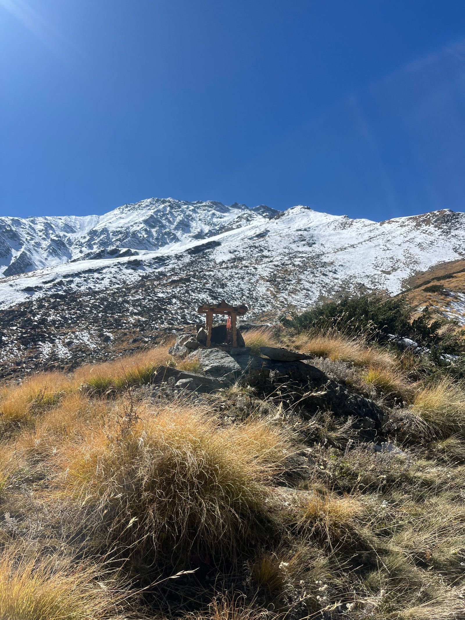
Along the way, we reach the Lal Devta Temple, a small but culturally significant shrine associated with the local communities of the Harsil region. The temple provides a natural resting point before continuing deeper into the mountains. Published Kyarkoti itineraries also identify the Lal Devta section as one of the notable points on the route.
Beyond Lal Devta, the trail gradually becomes more manageable as we continue towards our campsite. The forest opens up at several points, offering beautiful views of the surrounding Himalayan landscape.
By afternoon, we reach the Gangnani campsite. Settle into your tent, enjoy a hot meal and spend the evening surrounded by the silence of the mountains.
Day 3: Gangnani to Kyarkoti
- Trek Distance: 15 KM Trek
- Trek Time:7–8 Hours
- Total Altitude: 3,000 m → 3,850 m+
- Difficulty: Moderate to Difficult
- Stay: Kyarkoti Campsite
Today we leave Gangnani behind and begin our journey towards Kyarkoti.
Compared to yesterday’s steep ascent, today’s trail is more gradual and allows us to gain altitude at a steady pace. The route continues through beautiful Himalayan terrain, gradually taking us away from the lower forests and deeper into the high-altitude landscape.
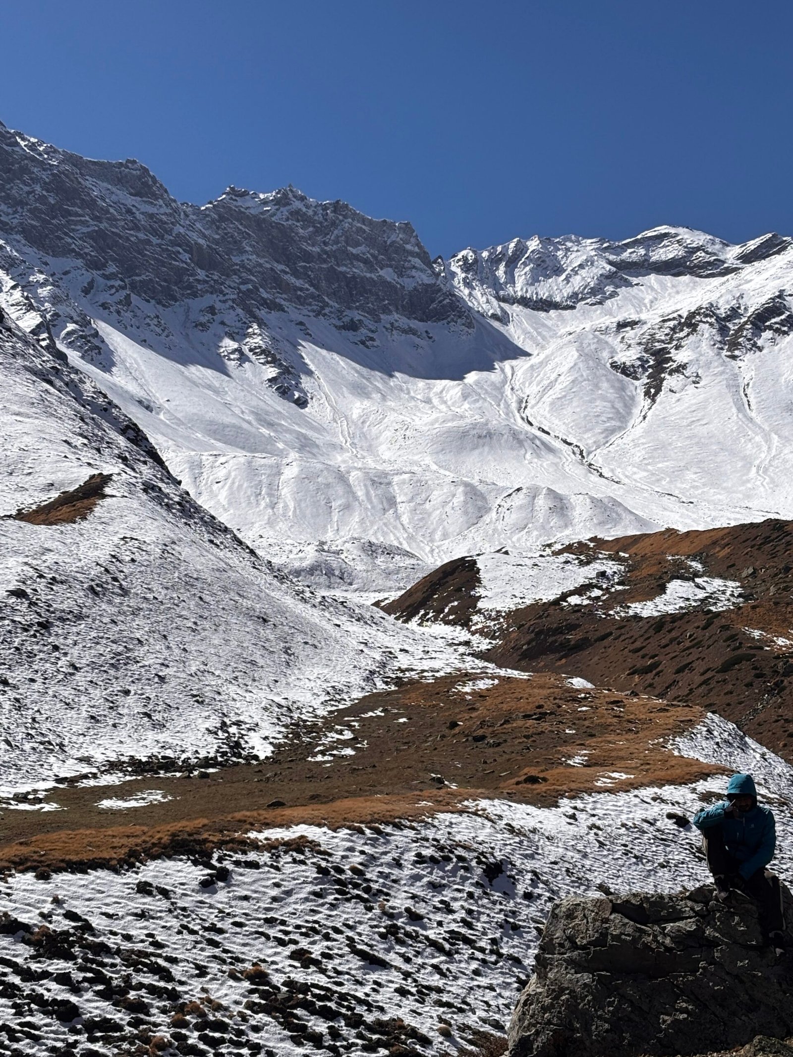
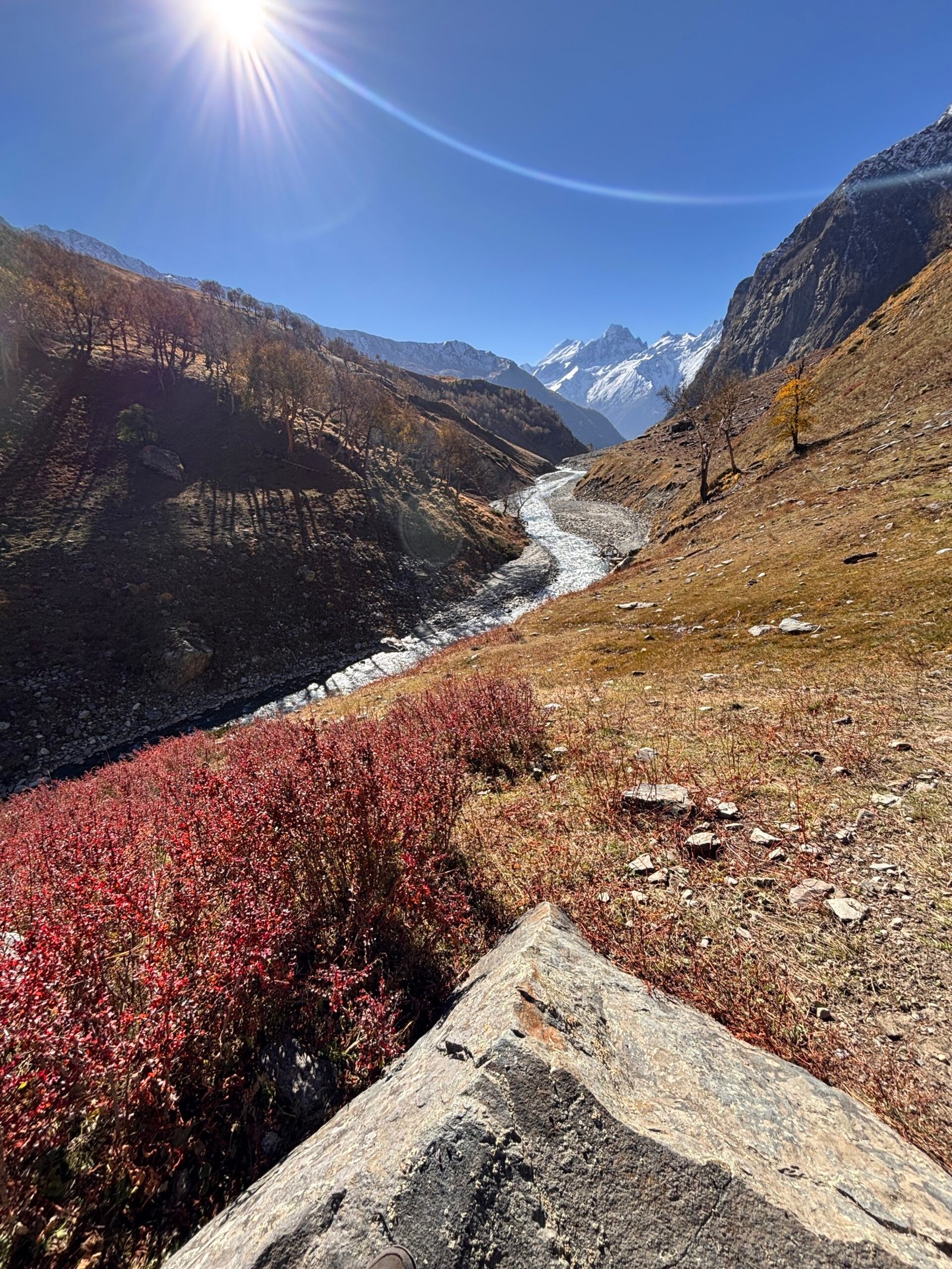
As we climb higher, the vegetation begins to change. Dense forests gradually give way to open mountain slopes, alpine meadows and vast Himalayan landscapes.
The trail becomes increasingly remote, with fewer signs of habitation and a growing sense of wilderness. Every turn reveals a new perspective of the surrounding mountains.
After several hours of trekking, we finally approach the Kyarkoti region. At an altitude of around 3,600 metres, the landscape opens into a spectacular high-altitude setting.
Reach the campsite by evening, settle into your tents and enjoy a well-earned hot meal.
With the mountains stretching endlessly around you, tonight is all about experiencing the silence and remoteness of Kyarkoti.
Day 4: Explore Kyarkoti & Trek Back to Gangnani
- Trek Distance: 15km trek
- Trek Time: 7–9hrs
- Total Altitude: 3,850 m → 3,000 m
- Difficulty: Moderate to Difficult
- Stay: Gangnani Campsite
Wake up early to experience Kyarkoti in the beautiful morning light.
Today begins with time to explore the Kyarkoti region. The high-altitude landscape, expansive meadows and surrounding Himalayan peaks create an incredible setting for photography and exploration.
Take some time to walk around the area, capture photographs and simply experience the quietness of this remote Himalayan landscape.
After exploring Kyarkoti, we begin our descent towards Gangnani.
The route takes us back through the same high-altitude terrain, but descending allows us to cover the trail from a completely different perspective. The landscape slowly changes as we lose altitude, with alpine terrain gradually transitioning back towards the forests.
After a long day in the mountains, we reach the Gangnani campsite at around 3,000 metres.
Enjoy a warm dinner and relax around the campsite, sharing stories from the day’s adventure.
Day 5: Gangnani to Harsil
- Trek Distance: 12 KM Trek
- Trek Time:7-8 Hours
- Altitude: 3,000 m → 2,600 m
- Difficulty: Moderate
- Stay: Hotel / Homestay in Harsil
After breakfast, we begin our final trekking day.
The trail takes us downhill from Gangnani towards Harsil, retracing the beautiful forest route we climbed a few days earlier. What felt challenging on the way up now becomes a relatively comfortable descent, although some steep sections require careful footing.
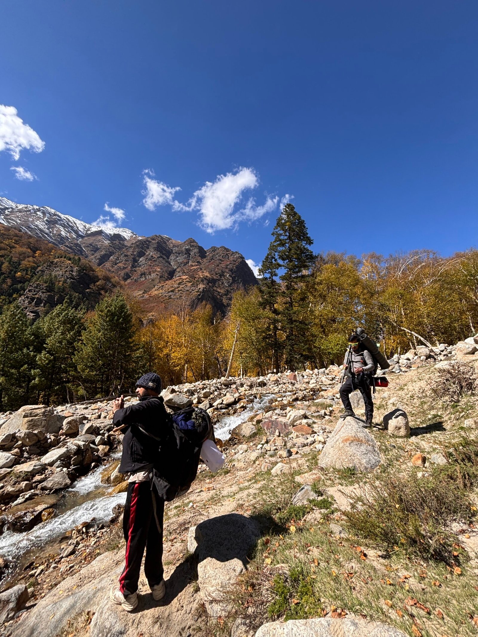
As we descend, the Himalayan forests become denser and the sounds of the valley gradually return. Streams, towering trees and glimpses of the surrounding mountains accompany us along the trail.
By afternoon, we reach Harsil and complete the trekking section of our Kyarkoti adventure.
Check into your hotel or homestay, freshen up and enjoy a relaxed evening. After several days in the wilderness, a comfortable bed and a warm meal will feel well deserved.
Spend your final evening in Harsil enjoying the peaceful valley before beginning the journey back to Dehradun tomorrow.
Day 6: Harsil to Dehradun
- Distance: 230–250 KM Drive
- Travel Time: 8–9 Hours
- Altitude: 2,600 m → 640 m
- Drop-off: Dehradun (prince chowk)
After breakfast, we begin our journey back to Dehradun.
The drive follows the beautiful Bhagirathi Valley, giving us one final opportunity to enjoy the Himalayan landscapes that accompanied us throughout the trek.
As we gradually descend, the towering mountains give way to lower Himalayan forests, towns and eventually the plains.
We will take suitable breaks along the way for refreshments, lunch and photographs.
By evening, we arrive in Dehradun, bringing our 6-day Kyarkoti Trek adventure to an end.
The trail may be over, but the mountains stay with you long after you leave.
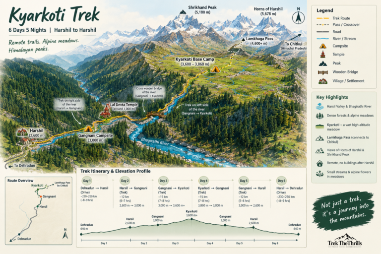
Kyarkoti Trek 2026 - Guided Map
Click Here
Kyarkoti Trek 2026 Essentials
- 🎒Gear & Equipment
- A sturdy rucksack (60–70 L with rain cover)
- Trekking shoes with good
grip (men’s/women’s) - Trekking pole (highly recommended)
- Headlamp/torch with spare batteries
- Poncho or rain jacket
- 🧥 Clothing
- 1 down jacket (for extreme cold)
- 1 fleece or light woollen jacket
- 2 trekking pants (quick dry preferred)
- Thermal wear (top & bottom)
- Warm socks (2–3 pairs) + cotton socks
- Woollen cap & sun cap
- Waterproof/woollen gloves
- Extra warm layers for nights
- Comfortable lowers for camping
- 🍽️ Utensils & Documents
- Lunch box, plate & spoon
- Coffee mug/water bottle (or hydration bladder)
- Government-issued photo ID proof
- 🧴 Personal Care
- Sunglasses (UV protected)
- Sunscreen (SPF 30+) & lip balm
- Moisturiser
- Hand towel
- Toilet paper & wet wipes (unscented)
- Pocket-sized soap/handwash
- Sanitizing toilet spray
- Ziplock bags (for waste segregation)
- Toothbrush & toothpaste
- 🩹 Health & Utilities
- Basic first-aid kit (with prescribed medicines)
- Energy bars & dry snacks
- Power bank
- Sandals/floaters (for campsites)
- Balaclava or scarf for wind protection
How to Reach Base ( Harshil)
- AIR
The nearest airport is Jolly Grant Airport, Dehradun (approx. 250 km from Harshil). From the airport, you can hire a taxi or take a bus towards Harshil/ Uttarakashi and then a shared jeep or local taxi to Harshil.
- TRAIN
The nearest railway station is Dehradun Railway Station. Overnight trains from Delhi (like Nanda Devi Express, Mussoorie Express) are convenient. From Dehradun, continue by road towards Mussoorie → Chinyalisaur→ Uttarkashi → Bhatwari → Harshil.
- ROAD
Regular buses and shared jeeps connect Dehradun to Harshil and Uttarkashi. From Bhatwari or Uttarkashi, the last stretch to Harshil (about 70 km) is usually by local taxi/jeep. Private cabs can also be hired directly from Dehradun. For bus timings and bookings, check the official Uttarakhand Transport Corporation website.
Kyarkoti Trek 2026 FAQs – Everything You Need to Know Before the Trek
1. What is the Kyarkoti Trek?
Kyarkoti Trek is an offbeat high-altitude trek in Uttarakhand’s Harsil Valley. The trail follows the river through remote Himalayan terrain, passing through forests, alpine landscapes and open meadows before reaching the beautiful Kyarkoti region.
2. Where does the Kyarkoti Trek start?
The trek starts from the Harsil Valley. After Harsil, there are no regular settlements or buildings along the trekking route, making the trail feel genuinely remote and wild.
3. How long is the Kyarkoti Trek?
The Kyarkoti Trek is a 6-day, 5-night adventure, including the journey from Dehradun to Harsil and back.
Route:
Dehradun → Harsil → Gangnani → Kyarkoti → Gangnani → Harsil → Dehradun
4. What is the altitude of Kyarkoti?
Kyarkoti lies at approximately 3,600–3,860 metres, depending on the exact point considered within the Kyarkoti meadow and surrounding high-altitude terrain.
5. What is the difficulty level of the Kyarkoti Trek?
Kyarkoti is best considered a moderate to difficult trek. The trail includes a steep ascent between Harsil and Gangnani, followed by longer but comparatively gradual sections towards Kyarkoti. Previous trekking experience and good physical fitness are recommended.
6. How many kilometres do we trek each day?
The distance varies by day. The approximate trekking schedule is:
- Day 2: Harsil → Gangnani – ~12 km
- Day 3: Gangnani → Kyarkoti – ~15 km
- Day 4: Kyarkoti → Gangnani – ~15 km
- Day 5: Gangnani → Harsil – ~12 km
The exact distance can vary depending on the campsite location and trail conditions.
7. Is Kyarkoti Trek suitable for beginners?
- Kyarkoti is not an ideal first trek for completely inexperienced trekkers. The route includes steep sections, long trekking days, high-altitude terrain and limited infrastructure beyond Harsil. Beginners with good fitness can undertake it with proper preparation and under an experienced trek leader.
8. What is special about the Kyarkoti Trek?
The biggest attraction of Kyarkoti is its remoteness. After leaving Harsil, the trail takes you deep into the mountains with virtually no permanent habitation along the route. The trek combines a river valley, Himalayan peaks, forests, alpine meadows and the wide open landscape of Kyarkoti.
9. Does the Kyarkoti trail follow a river?
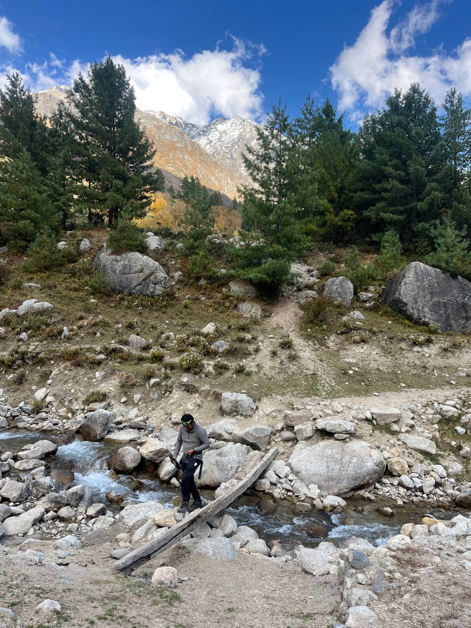
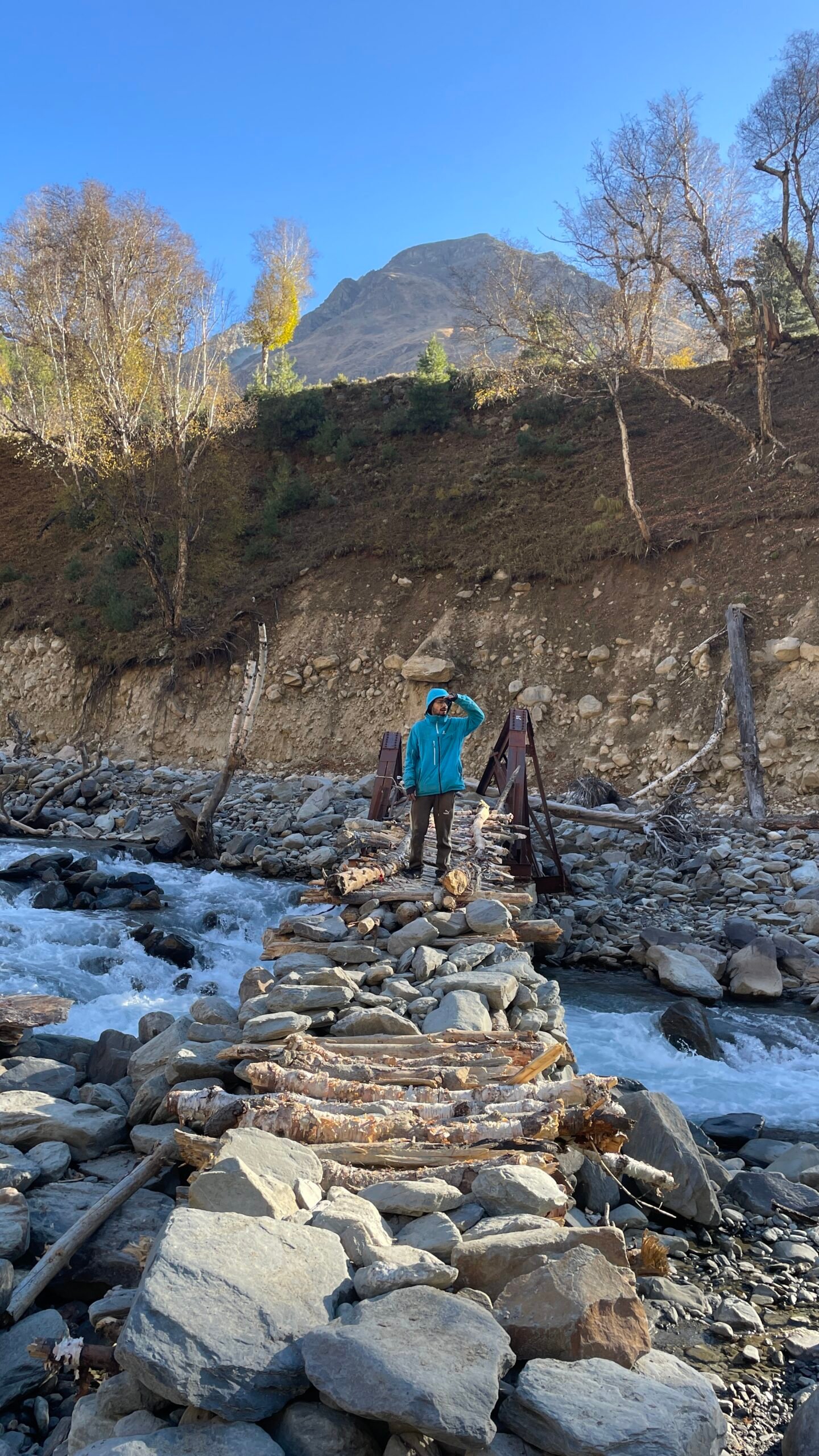
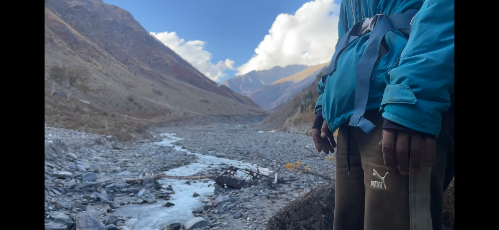
Yes. The trail remains alongside the river for a large part of the trek. Until Gangnani, the trail follows the right bank of the river. After Gangnani, trekkers cross a wooden bridge and continue on the left bank towards Kyarkoti.
10. What is there to see at Kyarkoti?
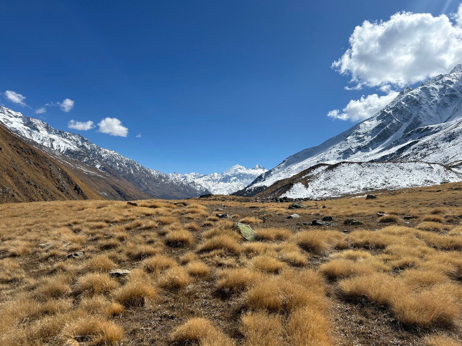
Kyarkoti is known for its broad alpine meadow landscape, small seasonal water streams and tiny alpine flowers scattered across the grasslands. The open terrain provides a striking contrast to the narrower forested sections of the approach.
11. Can we see Lamkhaga Pass from Kyarkoti?
Kyarkoti is associated with the route towards Lamkhaga Pass, a high Himalayan pass connecting the Harsil side of Uttarakhand with the Chitkul side of Himachal Pradesh. The pass direction adds to the remote, trans-Himalayan character of the landscape.
12. Which peaks can be seen during the Kyarkoti Trek?
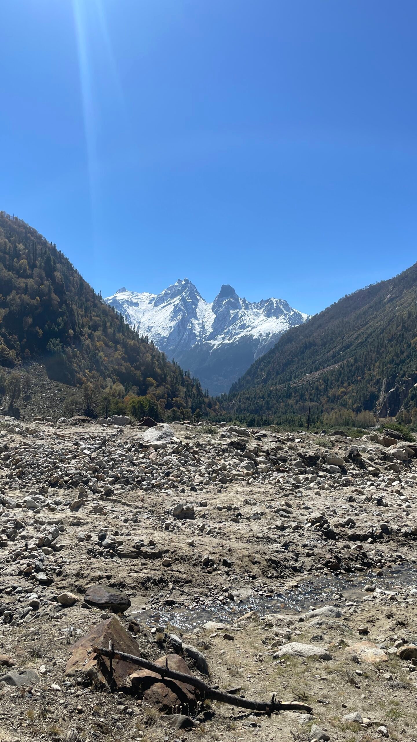
The trek offers views of several impressive Himalayan peaks and mountain formations. Around the Harsil section, trekkers can encounter views towards Horns of Harsil and Shrikhand Peak, while the higher sections open into broader alpine mountain landscapes.
13. Is there mobile network on the Kyarkoti Trek?
Mobile connectivity can be limited or unavailable on significant portions of the trail, particularly after leaving the Harsil area. Trekkers should not rely on mobile connectivity and should inform family members before entering the remote sections.
14. Where do we stay during the trek?
Accommodation during the trekking section is primarily in tents/campsites. The first campsite is around Gangnani, followed by the Kyarkoti campsite. After returning to Gangnani and Harsil, accommodation is arranged according to the itinerary.
15. What is the best time for the Kyarkoti Trek?
The best trekking window depends on snow conditions and local trail accessibility. Generally, the spring to early summer and post-monsoon periods can offer favourable conditions, while weather and snow conditions at higher elevations should always be checked before departure.
16. Does Kyarkoti receive snowfall?
Yes. Due to its high elevation, Kyarkoti can experience significant snowfall during winter and snow may remain in the higher sections depending on the season. Conditions can change considerably from year to year.
17. What kind of fitness is required for Kyarkoti Trek?
You should be comfortable walking 10–15 km on consecutive days, including uphill and downhill sections. Cardiovascular endurance, leg strength and the ability to walk for several hours with a backpack are important.
18. What should I carry for the Kyarkoti Trek?
Essential items include:
- Good-quality trekking shoes
- Warm layers and waterproof jacket
- Trekking pants
- Thermal innerwear
- Gloves and woollen cap
- Sunglasses and sunscreen
- Headlamp
- Water bottle
- Personal medicines
- Basic first-aid supplies
- Backpack and rain protection
- Trekking poles
Because the route becomes remote after Harsil, carrying the necessary personal essentials is important.
19. Is Kyarkoti Trek safe?
Kyarkoti is a remote Himalayan trek, so conditions can change because of weather, rain, snowfall, river levels and trail conditions. The trek should be undertaken with an experienced local team, proper equipment and appropriate safety protocols. Trek leaders may modify the itinerary if conditions become unsafe.
20. Why should I choose Kyarkoti instead of a popular Uttarakhand trek?
Choose Kyarkoti if you’re looking for solitude, wilderness and an offbeat Himalayan experience rather than crowded trails and commercialised trekking routes. The absence of settlements after Harsil, the river-side trail, alpine meadows and connection towards Lamkhaga Pass make it particularly appealing to experienced adventure travellers.
Why Trek with Trek The Thrills?
Local Expert Guides
Trek with experienced and certified Himalayan leaders who ensure safety and share deep insights about the mountains, culture, and traditions.
Quality Trekking Gear
We provide high-quality tents, sleeping bags, and equipment to make sure your adventure is safe, reliable, and comfortable.
Safety & Medical Support
Your safety is our top priority. Our team carries first-aid kits, oxygen support, and is trained to handle emergencies at high altitudes.
Affordable Transparent Packages
As the best trekking agency in Uttarakhand, we believe in fair pricing with no hidden costs—so you can focus only on the experience.
Small Group Experience
We keep our batches small to give you personalized attention, better safety, and a richer Himalayan experience.
24/7 Support & Assured Departures
Enjoy hassle-free booking and guaranteed departures. Our support team is always available before, during, and after your trek.
Gallery